
Service reviews provide comprehensive information about services, and recommend actions to promote efficient service delivery and good governance.
Cities and Special Districts
Maps Portal (GIS)
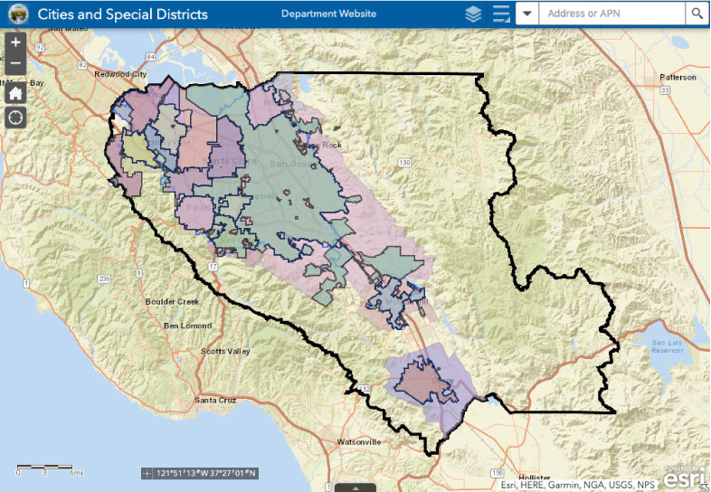
LAFCO is a resource for City and Special District boundary information in Santa Clara County. Use this interactive mapping tool to view the various boundaries.
Island Annexation Program
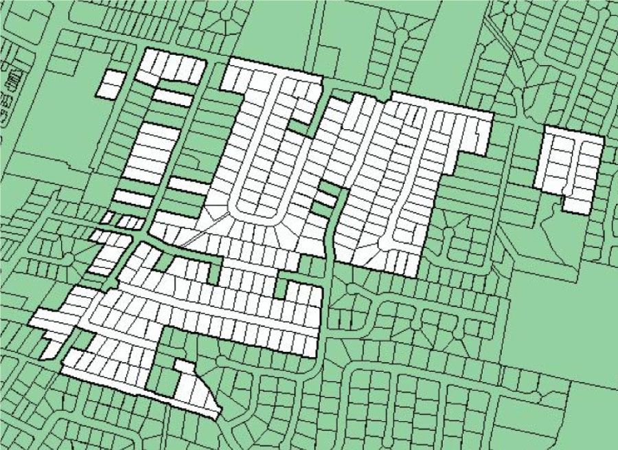
LAFCO, in partnership with the County, encourages cities to annex urban unincorporated islands located within a city’s Urban Service Area.
joint powers authorities
Agreements and amendments submitted by Joint Power Authorities in Santa Clara County.
mutual water companies
Mutual water companies providing water service within the County